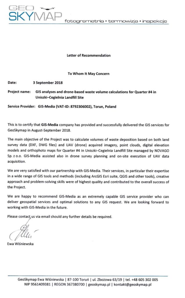
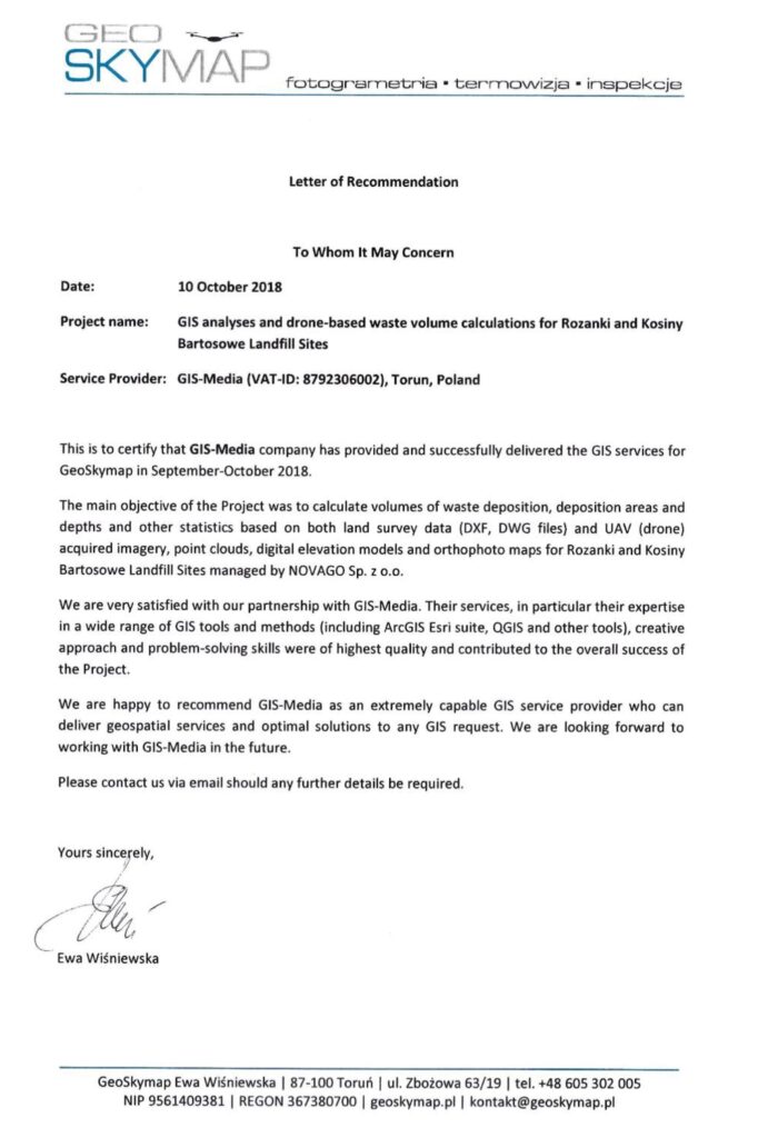
Volume calculation of waste deposition, deposition areas and depths and other statistics based on both land and survey data (DXF, DWG files) and UAV (drone) acquired imagery, point clouds, digital elevation models and orthophoto maps. Assistance in planning drone survey and on-site execution of UAV data acquisition.
GEOSKYMAP logo source: https://geoskymap.pl/


